Precipitation Trends_Aljawf.png
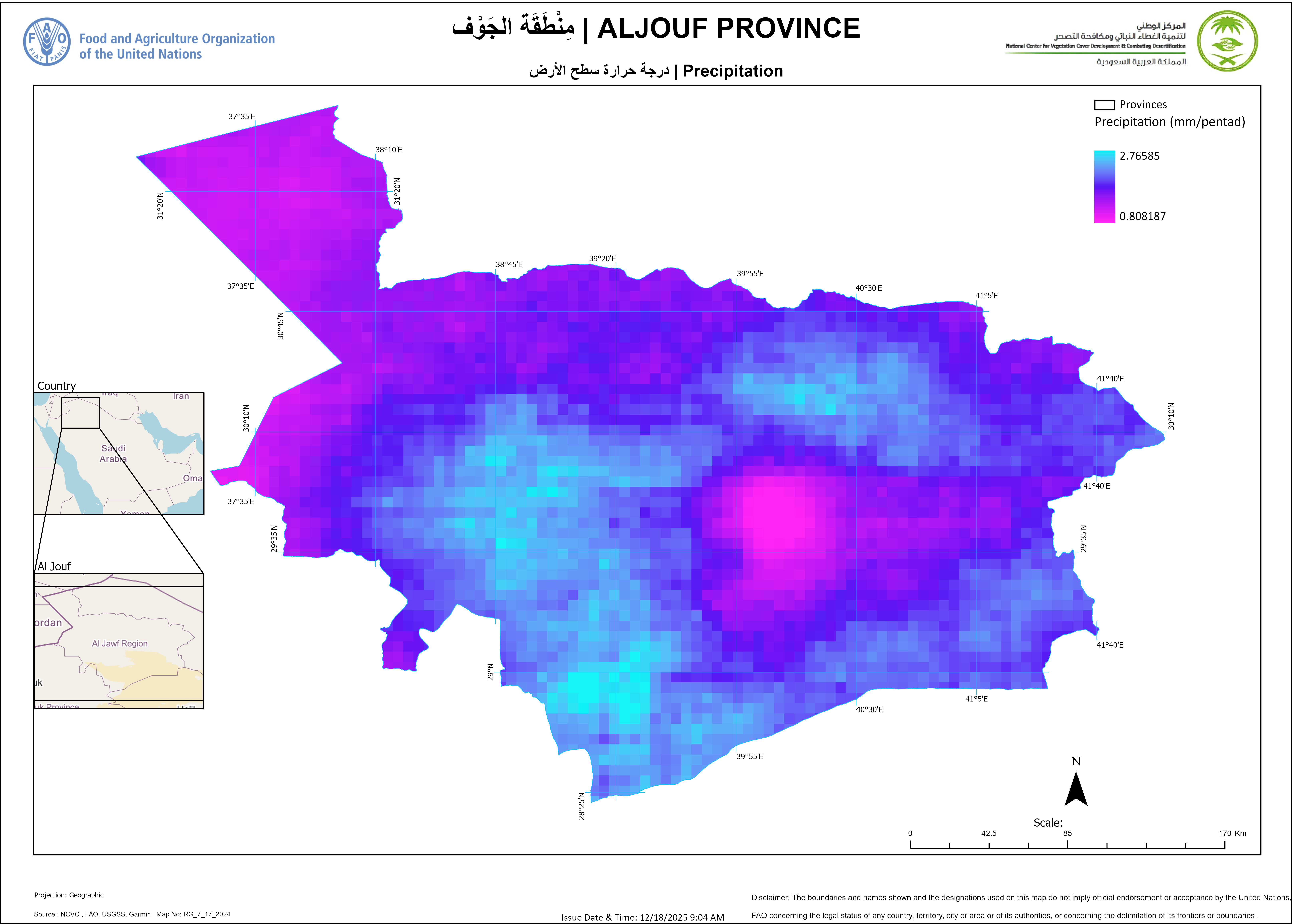
The purpose of this dataset is to analyze precipitation trends in the Al Jawf region using CHIRPS (Climate Hazards Group InfraRed Precipitation with Station data). This dataset provides high-resolution, long-term rainfall estimates that support climate studies, water resource management, and agricultural planning.
Additional Information
| Field | Value |
|---|---|
| Data last updated | December 18, 2025 |
| Metadata last updated | December 18, 2025 |
| Created | March 10, 2025 |
| Format | PNG |
| License | Open Data Commons Open Database License (ODbL) |
| Datastore active | False |
| Datastore contains all records of source file | False |
| Has views | True |
| Id | a33dc890-5956-457b-ae5a-0fbcc4f2f748 |
| Mimetype | image/png |
| Package id | 3214d386-1dd4-4b4f-8055-5e71dfd3ddfc |
| Position | 0 |
| Size | 1.7 MiB |
| State | active |
| Url type | upload |